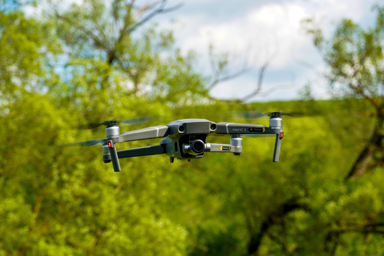
Drone Operations
Construction Operations
environmental photo/videos
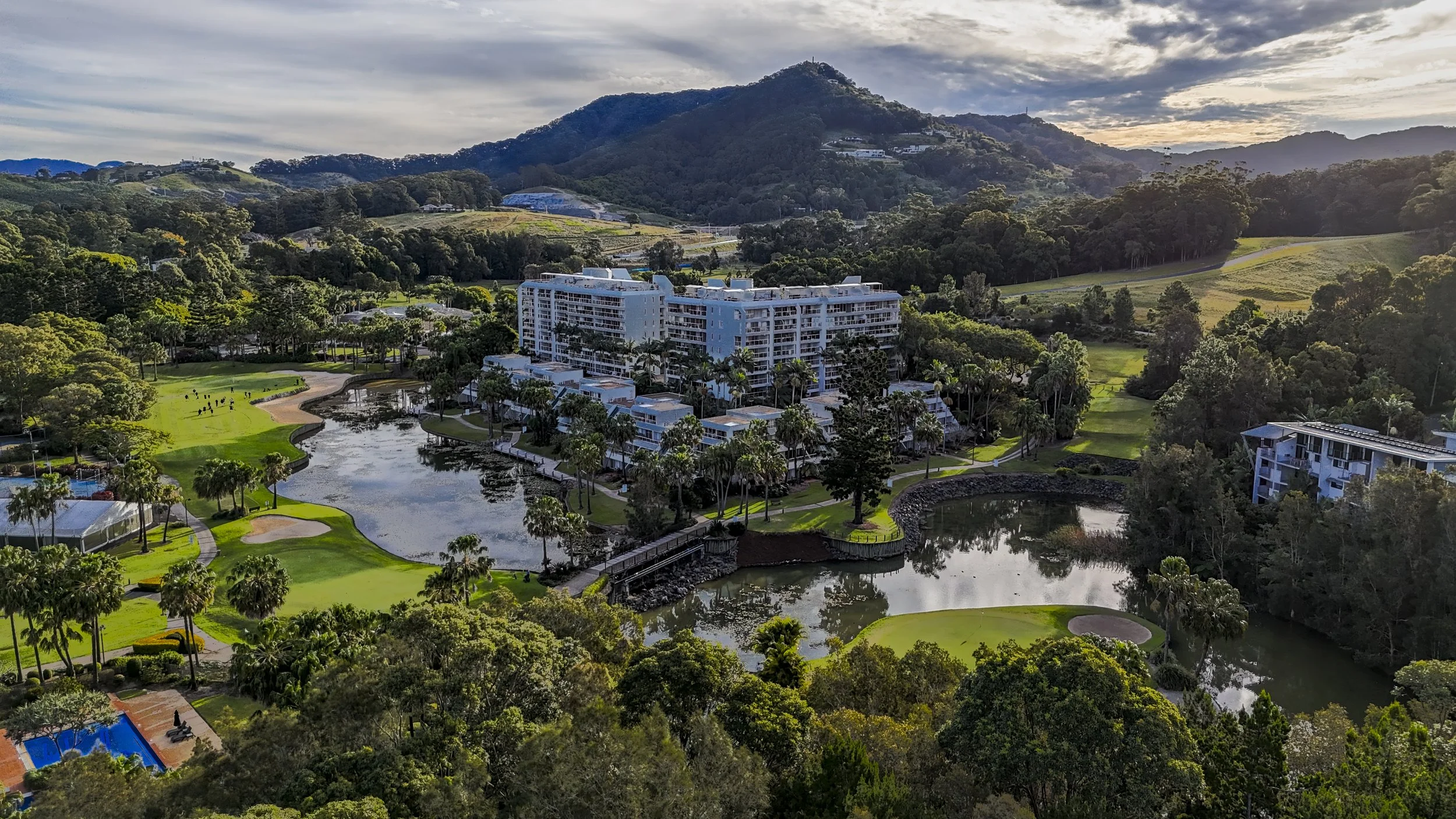
Aerial photography shows buildings in context. From above you can see how a building sits on its site, its scale compared to nearby structures, property lines, parking, and surrounding streets. These shots are useful for real estate, commercial developments, and architectural portfolios because they reveal layout, access, and location details that ground-level photos can’t capture. Include the surrounding landscape to enhance storytelling—trees, parks, rivers, hills, or agricultural patterns help convey setting, climate, and neighborhood character without letting the landscape overpower the building. Use wide-angle or higher-altitude frames to show relationships and textures, then pair with tighter aerials to emphasize the architecture. This balance provides clients clear functional information while preserving the visual appeal and sense of place.
Mapping/photogrammetry
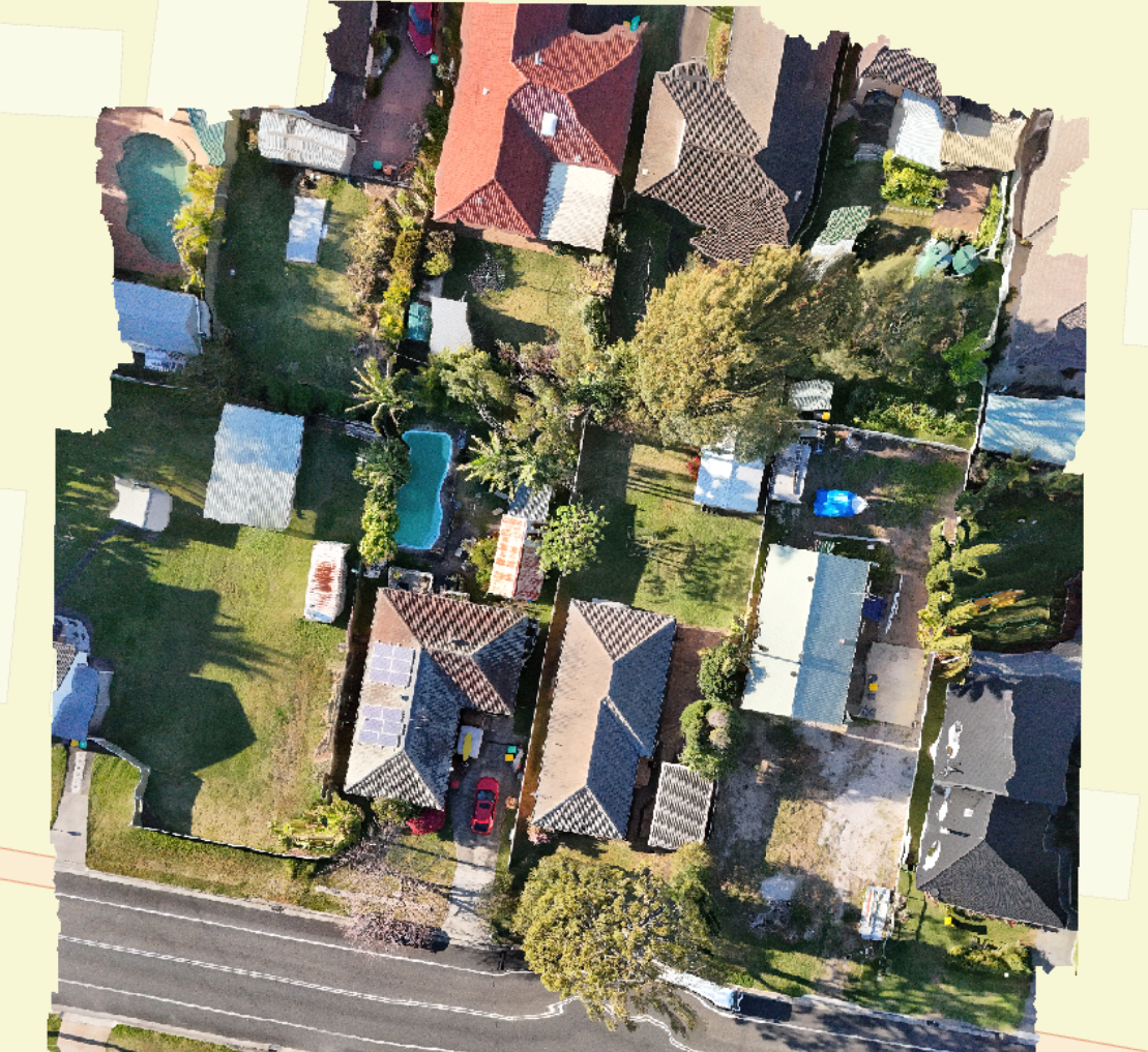
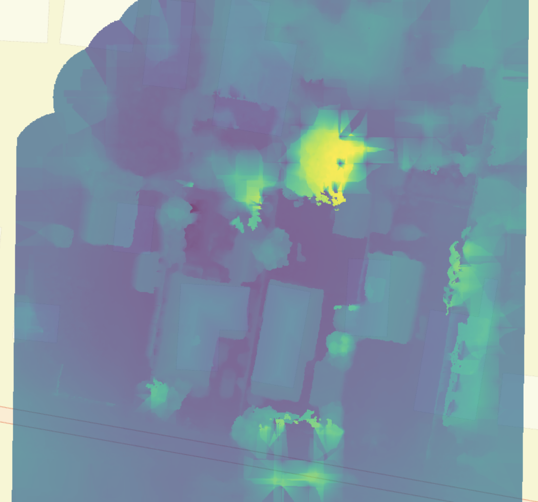
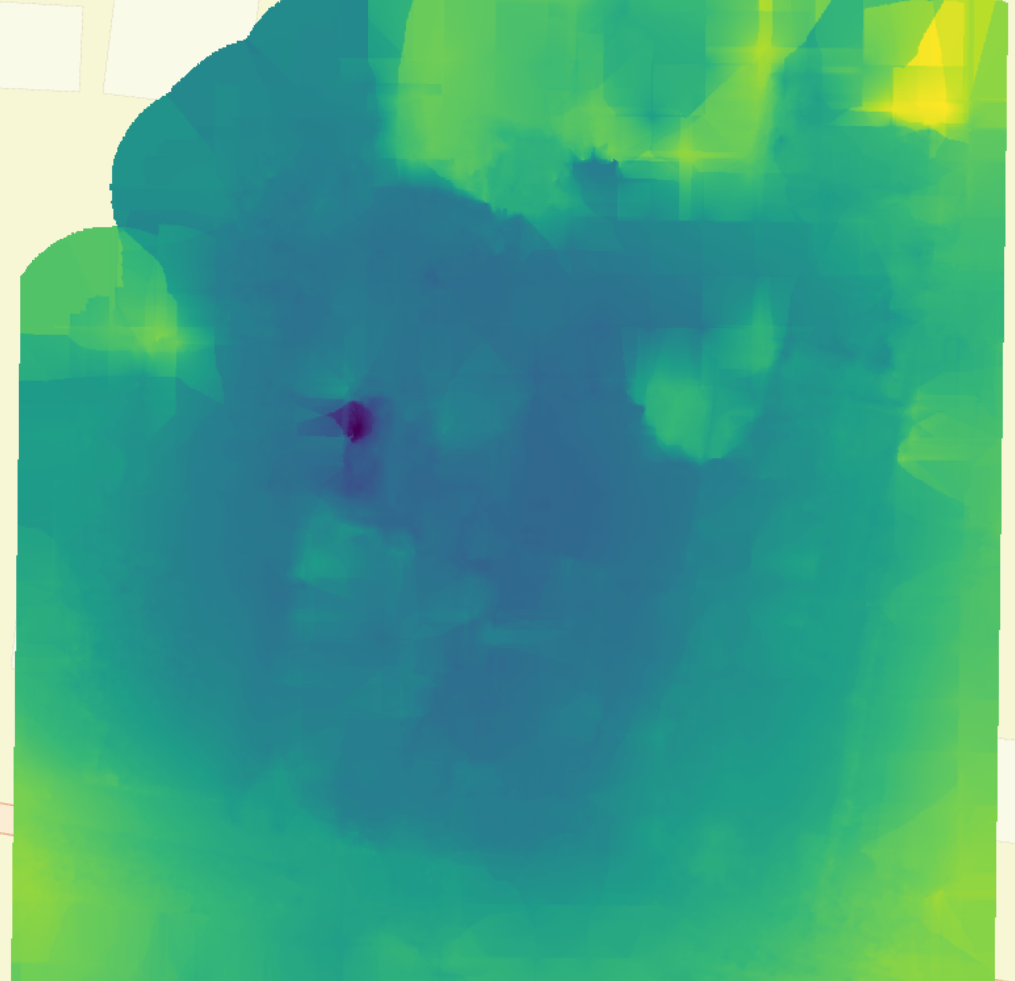
Drone mapping and photogrammetry make managing construction sites easier and faster. Using licensed drone pilots and calibrated cameras, we fly repeated flights to capture high-resolution aerial photos that are stitched into accurate 2D maps and 3D models.
What this gives you:
Fast, accurate topographic surveys and site maps
Precise volume measurements for earthworks and stockpiles
Easy progress checks to compare current work to plans
Clash detection and validation of as-built conditions against designs
Georeferenced files that work with BIM and CAD tools
Safer inspections with less time spent in dangerous areas
Bottom line: better, quicker decisions, lower costs, improved project control, and clearer communication between contractors, surveyors, and stakeholders.